One of the data types supported by QGIS are XYZ tiles, i.e. tiled image data in a Pseudo-Mercator projection. By default, QGIS only has OpenStreetMap as tile provider. To do so, you right click on XYZ Tiles in the Browser window and choose Add Connection. You need an URL for each data set that you want to add.
- Very useful is Google Maps imagery. All Google Maps data sets are listed here.
- OpenStreetMap has many different versions and layouts. These are all listed here. Dollar signs need to be removed for QGIS.
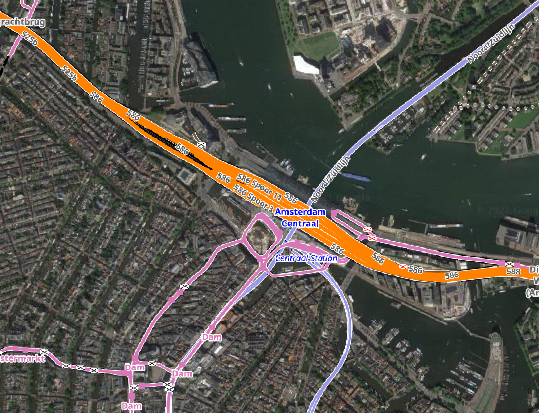
- OpenRailwayMap has three different styles as described here, very useful if you do railway-related work. You will have to remove the dollar signs to get it to work. You need another basemap below to get a full map, as ORM only has railway lines.
Here’s OpenRailwayMap combined with Google Satellite: